
Data Collection
Data Collection - drones and satellites, WhatsApp chatbot ChutkiAI, and FieldHQ.
Project Anāhitā
Project Anāhitā - TreeLens, Impact Dashboard, and Forest Protection Dashboard.
Collecting Truth, From Ground and Sky
Our data collection system combines high-resolution drone imagery, satellite data, and field-level inputs to ensure no tree is missed and no eligible farmer is overlooked
Drones & Satellites
High-resolution drone imagery, combined with satellite data, gives us centimeter-level views of every farm and forest we work in. This enables tree counts, health assessments, and land-use mapping that were impossible with manual methods
FieldHQ
Our central hub for field operations - uniting farmer, land, and inventory data into a real‑time view of thousands of hectares. It helps teams track resources, spot gaps, and stay accountable at every step
ChutkiAI
Our multilingual Whatsapp-based chatbot 'Chutki AI' keeps us connected to farmers, sharing updates, collecting feedback, and supporting enrollment - all through a tool they already use every day
Introducing Project Anāhitā: Turning Data into Living Impact
Our open‑source AI suite transforms field data into powerful insights - scalable, transparent, and cost‑efficient.Within the Project Anāhitā ecosystem, three core tools work together to track and amplify impact.
TreeLens
TreeLens analyzes drone imagery to count and geo‑tag every tree, identify species, estimate carbon sequestration, and assess health. It detects even saplings under four feet tall, giving us tree‑by‑tree precision from year one of planting
Our White Paper
We’ve published a white paper detailing TreeLens’ AI models, drone workflows, and validation - showing over 90% accuracy in mature tree detection and significantly lower costs than traditional monitoring
ReadOur Code
Most of our code is publicly available on GitHub for anyone to access, use, or build upon
Github
Living Impact Dashboards
Translating high-frequency field monitoring into clear, verified ecological insights for communities, partners, and funders.
Impact Dashboard
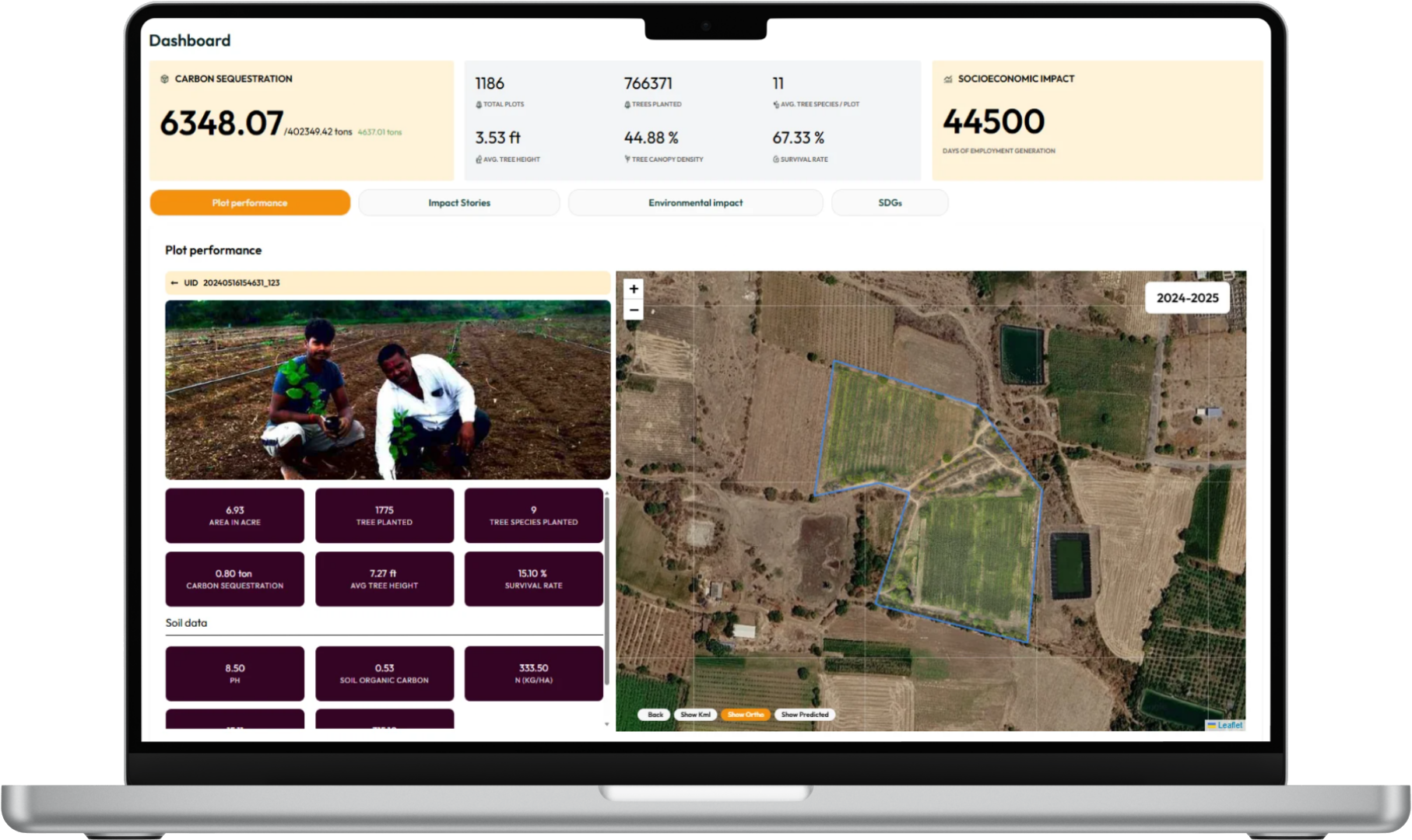
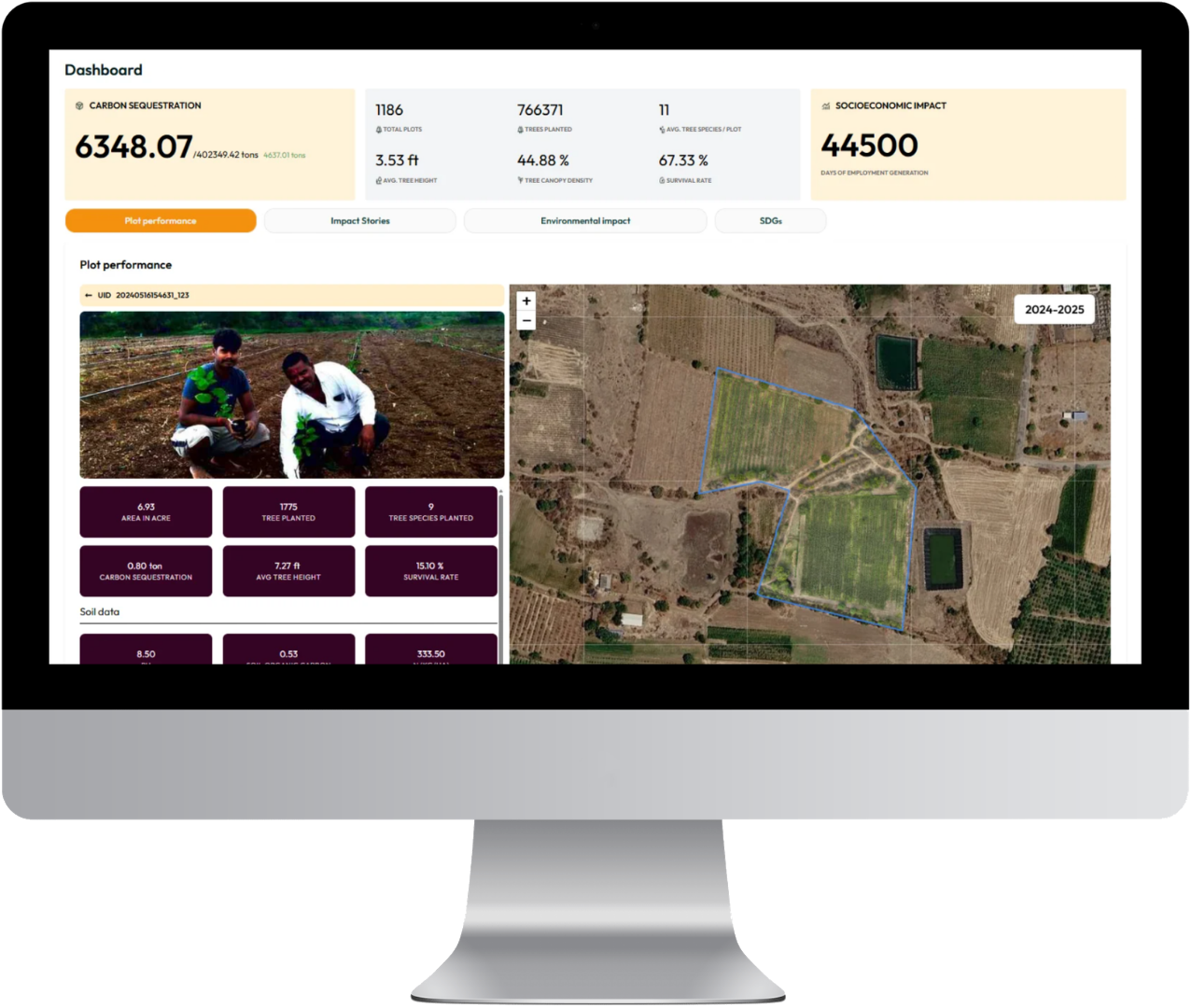
Our impact dashboard visualizes environmental outcomes - tracking survival rates, growth, biodiversity, water savings, and carbon captured. It turns complex data into simple insights for funders, enabling transparent impact reporting
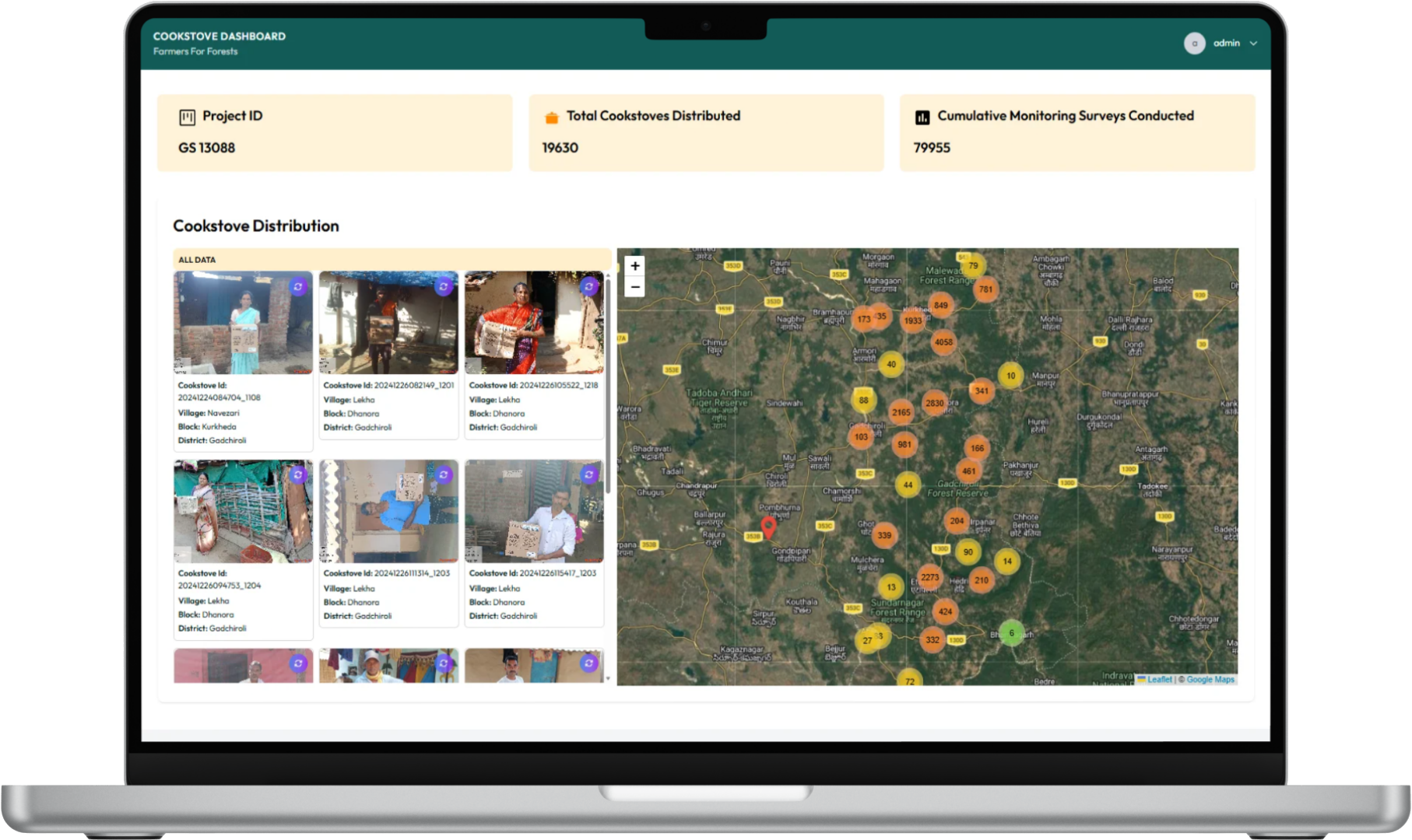
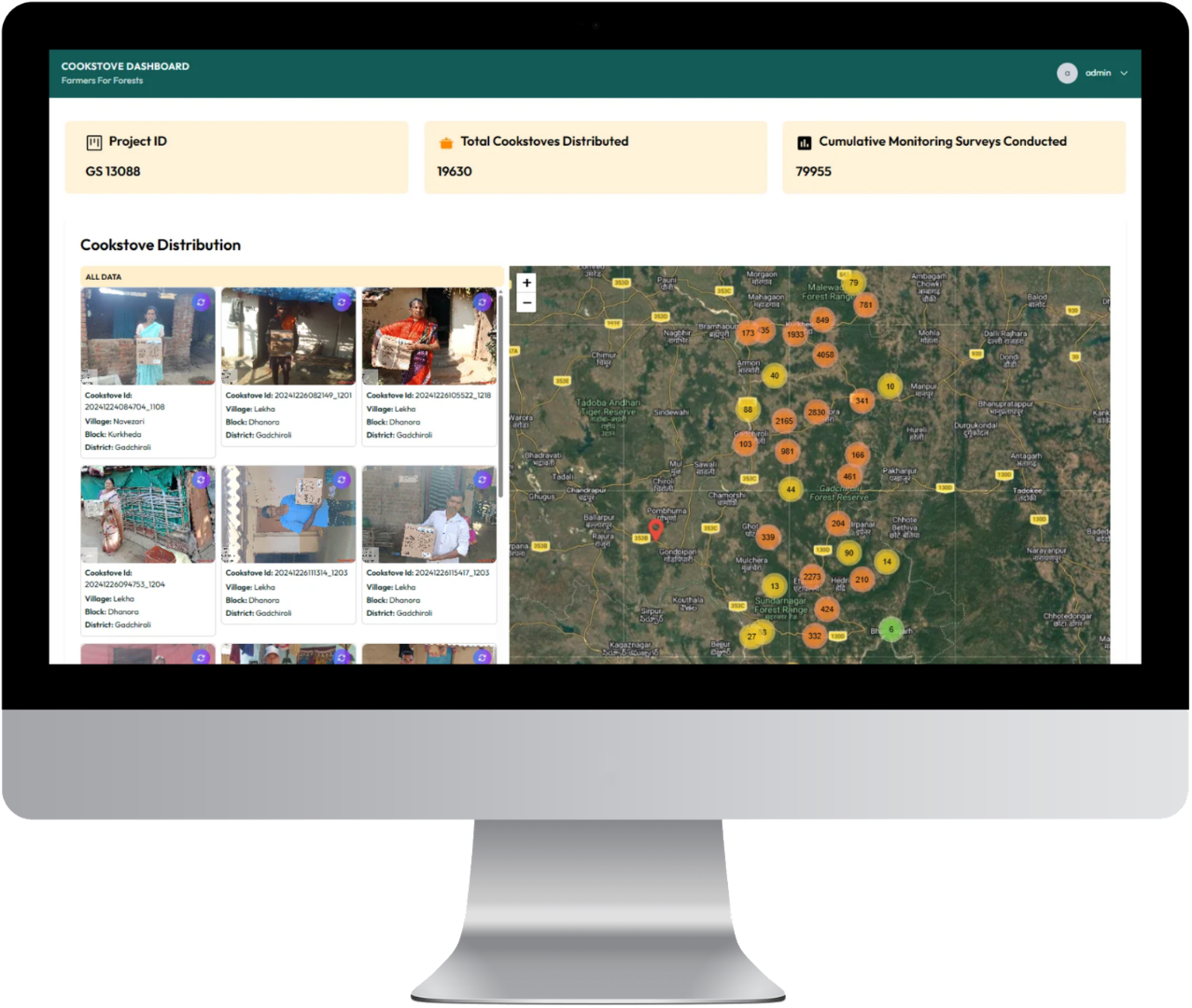
Forest Protection Dashboard
This platform tracks forest health and reduction in logging, while monitoring cookstove adoption, to estimate carbon saved through reduced fuelwood use. It combines satellite data, field reports, and community inputs for a clear view of impact
Deploy Open-Source Tech for Your Landscapes
To try out any of our platforms, please contact us at tech@farmersforforests.com